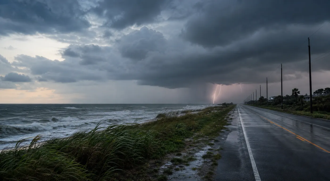
Tuesday's weather story is not one national map you can glance at and forget. It is two practical household problems happening at once.
On the Gulf Coast, Tropical Storm Bertha is the main issue. On the eastern half of the country, the bigger problem is a broad line of severe thunderstorms and heavy rain from the Ohio Valley into the Mid-Atlantic and Northeast. If you are anywhere in those corridors, the useful move is not doomscrolling radar screenshots. It is deciding now what route, errand, practice, shift, or power plan you will change before conditions get worse.
Why Bertha matters even if it does not look like a major hurricane story
The National Hurricane Center's 400 a.m. CDT advisory says Bertha was centered near 28.7 north and 86.4 west, or about 110 miles south-southwest of Panama City, with maximum sustained winds near 50 mph. A Tropical Storm Warning remains in effect from the Alabama-Florida border west to the Jefferson or Plaquemines Parish border in Louisiana, and a Storm Surge Watch is in effect from the Alabama-Florida border to the mouth of the Mississippi River.
That does not mean every north Gulf Coast community gets the same conditions. It does mean today is a bad day to wait until after work to handle the boring basics. NHC says Bertha is expected to produce 2 to 4 inches of rainfall with isolated higher totals near 6 inches through Thursday from western Florida into southern Louisiana, including southern parts of Alabama and Mississippi. That is enough to turn a manageable day into a flood, parking, or outage problem if you leave the prep too late.
What Gulf Coast households should do before midday
- Charge phones, backup batteries, medical-device backups, and rechargeable lights before the afternoon.
- Move cars away from low spots, weak limbs, and places that pond water fast.
- Refill prescriptions and pick up baby, pet, or special-diet supplies before bands of rain make every stop slower.
- Check whether your normal drive crosses coastal roads, causeways, or flood-prone stretches that become bad bets in tropical rain.
- Review outage rules before you need them. Generators stay outdoors and well away from doors and windows.
The practical trap on lower-end tropical days is assuming the storm category tells you whether your evening will be easy. Often the real problem is stacked inconvenience: one flooded road, one short outage, one missed store run, and one drive you should have delayed.
Why the Ohio Valley to Mid-Atlantic corridor deserves respect today
The Storm Prediction Center says an Enhanced Risk of severe thunderstorms stretches across portions of the Upper Ohio Valley into the Mid-Atlantic. Its 0600 UTC outlook says all severe hazards are possible, but swaths of damaging wind gusts should be the primary concern through the afternoon and early evening.
SPC also says organized clusters and supercells may evolve from the lower Ohio Valley into the Mid-Atlantic as a large-scale trough pushes east. In plain language, this is the kind of setup where a normal workday, delivery route, or after-work plan can suddenly become a race against wind damage, downed trees, and a rough commute.
Where the flood side of the problem is strongest
The Weather Prediction Center's 0819 UTC excessive-rainfall outlook keeps a Slight Risk from parts of the Ohio and Tennessee Valleys into the Northeast. WPC says moisture feeding north from Tropical Storm Bertha is part of the reason thunderstorms in this corridor may produce intense short-term rainfall.
Its discussion points to a stronger rainfall signal in central Kentucky and central Tennessee, plus a separate concern from northern New Jersey into the Hudson Valley where morning storms may train over the same areas. For readers, the takeaway is simple: not every severe-weather day is mostly a hail story. In some places today, the more practical problem is whether one hard burst of rain turns a familiar road into the wrong route.
What to change if you are in the East corridor today
- Check your local National Weather Service office before lunch and again before the evening commute.
- Bring vehicles under cover or away from exposed trees if your local forecast leans toward hail or wind.
- Build more time into any afternoon drive so you can turn around instead of forcing a water-covered or blocked route.
- Move outdoor furniture, umbrellas, and lightweight gear before gusty winds do it for you.
- Pick your household trigger now. Decide what forecast change means you cancel the field, the patio plan, or the late drive.
People lose time on days like this because they keep checking radar without deciding what would actually make them change the plan. Pick the trigger first. Then follow it.
The Southwest still has a second flash-flood lane
Bertha and the eastern severe corridor are the lead story, but WPC also keeps a Slight Risk across much of Arizona and parts of the Great Basin. Its discussion says monsoonal moisture and terrain support rainfall rates up to 2 inches per hour, with the greatest flash-flood vulnerability in hydrophobic desert soils, bare rock terrain, and the usual wash or canyon trouble spots.
If your Tuesday involves desert trailheads, washes, burn-scar terrain, or remote roads in Arizona, this is another day for a stricter no-go rule than usual. A wash crossing can look manageable until runoff arrives from storms you never saw overhead.
Outage prep still matters in every corridor
Tropical rain, severe wind, and flash flooding can all end the day the same way: the power goes out when you still need to cool the house, charge a phone, or protect food and medicine.
Ready.gov says to keep freezers and refrigerators closed as much as possible. Food in a refrigerator usually stays cold for about four hours if the door stays shut, and a full freezer for about 48 hours. The same guidance says generators and fuel should always be used outdoors and at least 20 feet from windows, doors, and attached garages.
If you need a fuller checklist, Tadpost's power-outage heat-wave guide and blackout kit checklist are the best next reads before conditions deteriorate.
What to recheck later today
- the latest NHC advisory and local NWS alerts if you are on the Gulf Coast
- the current SPC Day 1 outlook if your main concern is wind, hail, or tornado risk
- the WPC excessive-rainfall outlook if your route includes flood-prone roads
- state DOT or local road-closure pages if heavy rain is already affecting your travel corridor
- your utility's outage map if storms are moving toward your neighborhood this afternoon or evening
FAQ
Where is Tropical Storm Bertha headed on July 21?
NHC advisory 8 says Bertha was moving northwest early Tuesday and is expected to move near or along the northern Gulf Coast during the next several days.
What is the main severe-weather threat from the Ohio Valley into the Mid-Atlantic?
SPC says swaths of damaging wind gusts are the main concern, though severe hail and a tornado or two are also possible.
Why does WPC mention Bertha in the eastern flood setup?
Because moisture tied in part to Bertha is expected to ride northeastward ahead of the front, helping thunderstorms produce intense short-duration rainfall.
What is the most useful single weather rule today?
Do not treat a water-covered road or a late route decision as something you can improvise in the moment. Decide the backup route and no-go threshold before the weather gets there.
What should I do first if the power fails tonight?
Keep refrigerator and freezer doors closed, unplug sensitive electronics if it is safe to do so, and keep any generator outdoors and well away from doors, windows, and attached garages.
Sources
- National Weather Service homepage, checked July 21, 2026.
- National Hurricane Center Tropical Storm Bertha advisory 8, issued 0900 UTC July 21, 2026.
- Storm Prediction Center Day 1 Convective Outlook, issued 0600 UTC July 21, 2026.
- Weather Prediction Center Day 1 Excessive Rainfall Outlook, updated 0819 UTC July 21, 2026.
- Ready.gov power-outage guidance, checked July 21, 2026.
The bottom line
Tuesday's weather is not one clean national lane. Bertha is the Gulf Coast problem. Damaging wind and flood trouble from the Ohio Valley into the Mid-Atlantic and Northeast are the eastern problem. Arizona and parts of the Great Basin still carry a real monsoon flash-flood problem too. The smartest move is not memorizing every outlook category. It is changing one or two real-life decisions now, before water, wind, or an outage makes the decision for you.