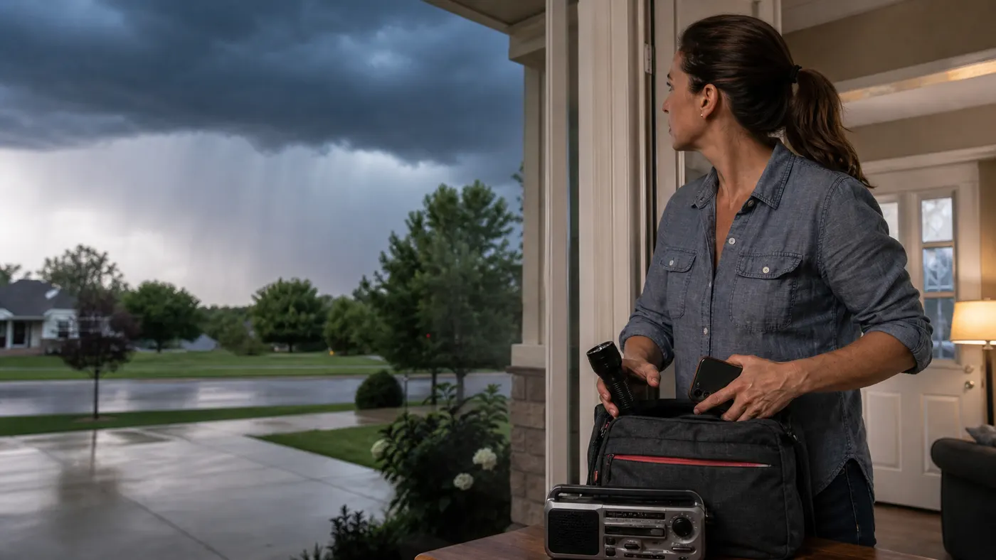
The latest national forecast points to several days of unsettled weather across parts of the United States. The Storm Prediction Center page updated at 07:22 UTC Friday, Aug. 28, and showed a Marginal Risk for the current Day 1 period, valid Aug. 28-29; a Slight Risk for Day 2, valid Aug. 29-30; and a Marginal Risk for Day 3, valid Aug. 30-31.
Those labels describe broad severe-storm potential. They do not mean every town in the shaded area will see a severe storm, and they cannot replace the forecast and alerts issued by the National Weather Service office serving your location.
What the latest SPC risk levels mean
The SPC outlook is best used as an early planning tool. A Marginal Risk means isolated severe storms are possible. A Slight Risk means scattered severe storms are possible, with a greater chance of organized activity somewhere in the outlined area. Neither category is a personal forecast.
For a useful local answer, check the NWS forecast for your city, destination, school, workplace, or travel route. Look for timing, storm coverage, wind and hail wording, flash-flood alerts, and any watch or warning that replaces the broad outlook.
The hazards worth planning for
Damaging wind and hail
The NWS defines a severe thunderstorm as one capable of producing hail at least one inch in diameter or wind gusts above 58 mph. Bring in loose outdoor items, close windows, and park away from trees when possible. During a warning, move into a sturdy building and stay away from windows. Do not make a last-minute trip during a warning just to protect a vehicle.
Lightning
When thunder roars, go indoors. A tent, covered patio, dugout, or open shelter is not the same as a substantial building or hard-topped vehicle. Wait at least 30 minutes after the last thunder before resuming outdoor activity.
Tornadoes
A broad outlook cannot tell you which neighborhood will be affected. If a tornado warning is issued, go to a basement or a small interior room on the lowest floor, away from windows, and protect your head. Keep wireless emergency alerts enabled and maintain a backup way to receive information.
Flash flooding
Heavy rain can quickly overwhelm roads, underpasses, creeks, and drainage areas. Floodwater can hide a washed-out road or carry a vehicle. If water covers the road, turn around. Never drive around a barricade.
A practical plan for the next few days
- Before leaving: Check the local NWS forecast, radar, and alerts for both ends of your trip. Charge your phone and allow extra travel time.
- Before storms arrive: Secure loose objects, identify the safest room, and gather flashlights, batteries, water, and needed medications.
- During the commute: If a warning covers your route, pull over at a safe location and seek substantial shelter when possible. Slow down in heavy rain and increase following distance.
- For outdoor plans: Decide in advance who monitors alerts and where everyone will shelter. Move inside at the first sound of thunder.
Watch versus warning
A watch means conditions are favorable for severe weather. Review your shelter and travel plan, charge devices, and keep checking official updates. A warning means a dangerous storm or hazard is occurring, imminent, or detected nearby. Act immediately. Do not wait for a second source or finish an errand.
Where to check before you travel
Use the SPC outlook for broad severe-weather context and your local NWS office for timing, watches, and warnings. Check local transportation agencies for road closures and emergency managers, utilities, schools, or event organizers for additional instructions.
Forecasts can change as new observations arrive. Refresh official information before afternoon and evening plans, especially if storms are expected along your route.
The takeaway
The Aug. 28-30 outlook is a reason to prepare for interruptions, not a reason to panic. Secure loose items, identify shelter, charge alert devices, and check the forecast for your exact location. When a warning is issued, act promptly. When a road is flooded, turn around.
FAQ
Does a Slight Risk mean severe weather is guaranteed?
No. It describes the potential for organized severe storms across a broad area. Local forecasts and warnings are more specific.
What should I do during a severe thunderstorm warning?
Move into a sturdy building, stay away from windows, and follow local emergency instructions. Avoid driving unless emergency officials direct you to do so.
What is the safest rule for flooded roads?
Turn around. Do not drive through water or around a barricade, even if the road looks familiar.
Sources
- NOAA Storm Prediction Center, Convective Outlooks. Checked Aug. 28, 2026 at 07:22 UTC for the current Day 1-3 risk categories and valid periods.
- National Weather Service, Severe Thunderstorm Safety. Used for severe-storm definitions and wind and hail preparation.
- National Weather Service, Lightning Safety. Used for shelter and 30-minute waiting guidance.
- National Weather Service, Flood Safety. Used for flooded-road safety and warning context.