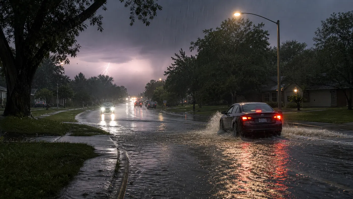
Friday's weather setup is not just a map story. It is a decision story.
The National Weather Service homepage says severe thunderstorms capable of large hail and damaging wind gusts are possible over the central and southern High Plains and eastern Kansas into Missouri Friday afternoon and evening. It also says rounds of storms ahead of a slow-moving frontal boundary will bring locally heavy rainfall and scattered flash-flood potential from the Mid Mississippi, Ohio, and Tennessee Valleys into the Appalachians.
That matters because this is not a one-hazard day. Some readers are dealing with repeated heavy rain and flooded-road risk. Others are more likely to face severe gusts, hail, and a quick outage problem. In a few corridors, the overlap is the entire issue: heavy rain first, strong wind second, then a difficult drive home or a powerless evening in hot and humid air.
Where the biggest flood concern sits this morning
The Weather Prediction Center's Day 1 excessive-rainfall outlook, updated at 0813 UTC Friday, says there is a Slight Risk of excessive rainfall from portions of the Mid Mississippi Valley into the central Appalachians.
WPC says convection will already be ongoing Friday morning across southern Missouri into portions of Kentucky and Tennessee, with flash flooding underway in parts of that region. It also warns that strong low-level westerly moisture transport can support upwind propagation, backbuilding, and multiple convective rounds as storms track across Kentucky and Tennessee later today.
Further north, WPC says a Slight Risk also covers parts of Indiana, Ohio, and southwest Pennsylvania, where slow-moving convection and periodic cell mergers could produce isolated to scattered flash flooding. The practical translation is simple: some roads may go from passable to a no-go faster than people expect, especially where morning rain is followed by new afternoon development.
Where the stronger severe-storm signal is centered
The Storm Prediction Center's 0548 UTC Day 1 outlook keeps a Slight Risk of severe thunderstorms across parts of the southern and central High Plains and from the Ozarks into the Mid Mississippi Valley.
SPC says thunderstorms with severe wind gusts and isolated large hail are possible this afternoon and evening across parts of the southern and central High Plains. It also says severe gusts are possible from the Ozarks and Mid Mississippi Valley eastward into the southern and central Appalachians.
For readers in those corridors, the practical concern is not just whether a storm develops. It is whether the strongest cells line up with the drive home, outdoor work, a ballfield, or a parked car left exposed through late afternoon and early evening.
Why repeated storm rounds matter more than one loud storm
A single severe thunderstorm can knock down branches, cut power, and force a detour. Repeated rounds create a different kind of problem.
WPC's discussion repeatedly points to the risk that new storms can build back into the same moist corridor. That means a place that handles one storm fine may struggle after the second or third round, especially if drains clog, creeks rise, or earlier rain leaves fewer easy ways out of a flooded commute.
This is why a broad Friday setup deserves a simple no-go rule before the afternoon starts. Decide now which roads, underpasses, creek crossings, or low-lying routes are not worth testing once water starts pooling. It is much easier to keep a firm rule at 11 a.m. than in heavy rain with traffic stacking behind you.
What drivers should do before the afternoon commute
- Check your local NWS office or hazards page at lunch, not after the first warning goes up.
- Move any essential trip earlier if your route uses flood-prone streets, low-water crossings, or roads that pool fast.
- Keep the phone charged, but save battery for alerts, family coordination, and outage updates.
- Park away from weak tree limbs if you are in a damaging-wind corridor.
- Do not plan on "seeing how it looks" at a flooded road. Treat that decision as already made.
The strongest same-day weather move is usually not heroic. It is leaving earlier, delaying an errand, or taking the long route before conditions force the choice.
Why households should think about outages too
Not every severe-weather guide spends enough time on what happens after the storm passes. Friday's pattern deserves it because damaging gusts and saturated ground can turn the weather problem into an evening power problem.
Ready.gov says people should unplug appliances and electronics to avoid damage from surges when service returns. It also says refrigerator and freezer doors should stay closed as much as possible, since a refrigerator usually keeps food cold for about four hours and a full freezer usually holds temperature for about 48 hours if left closed.
If your area is already hot and humid, an outage can get uncomfortable quickly. Tadpost's power-outage heat-wave guide covers the next-hour checklist in more detail, but the short version is people first, cooling second, medicine and food third, and a backup place to go if the house stops being a safe place to wait.
Generator mistakes still matter on storm days
Storm-driven outages often bring rushed decisions. Ready.gov says generators belong outdoors only and at least 20 feet from windows, doors, and attached garages. It also says to keep generators dry and let them cool before refueling.
This is worth stating plainly because the wrong shortcut can turn a weather outage into a carbon-monoxide emergency. A cracked garage door does not make indoor generator use safe.
What to recheck later today
Weather on setups like this changes by corridor and timing, not just by state line. Recheck:
- your local NWS office for watches, warnings, and timing
- the current SPC Day 1 outlook if you are in a severe-storm corridor
- the WPC excessive-rainfall outlook if flash flooding is the bigger concern in your area
- your utility outage map if storms are already producing service interruptions nearby
If you only do one thing, make it this: decide the backup route, the backup timing, and the backup indoor plan before storms arrive.
FAQ
Which areas have the broadest flash-flood concern on July 10?
WPC's 0813 UTC Day 1 outlook keeps a Slight Risk from portions of the Mid Mississippi Valley into the central Appalachians, with active flash flooding already noted across parts of southern Missouri into Kentucky and Tennessee.
Which areas have the stronger severe-weather signal?
SPC's 0548 UTC Day 1 outlook keeps Slight Risk severe corridors across parts of the southern and central High Plains and from the Ozarks into the Mid Mississippi Valley, with additional isolated severe-gust potential into the southern and central Appalachians.
Why are repeated rounds of storms more dangerous for drivers?
Because earlier rain can leave roads, drains, and creeks closer to failure before the strongest afternoon or evening storms arrive. The second round can create the real travel problem.
What should I do if a storm knocks out power?
Ready.gov says to unplug electronics, keep refrigerator and freezer doors closed, and use generators outdoors only. If heat or medical needs make the home unsafe, move to a powered location sooner rather than later.
How should I treat a water-covered road?
Treat it as a no-go. The safest same-day rule is deciding in advance that a flooded road is not a test you need to pass.
Sources
- National Weather Service homepage, checked July 10, 2026.
- WPC Day 1 Excessive Rainfall Outlook, updated 0813 UTC July 10, 2026.
- SPC Day 1 Convective Outlook, updated 0548 UTC July 10, 2026.
- Ready.gov power-outage guidance, checked July 10, 2026.
The bottom line
Friday's weather risk is not evenly distributed, but the reader job is consistent across the map. Know whether your bigger problem is flood water, severe wind, or both. Make the backup route and backup timing decisions early. And if a storm turns into an outage, shift fast from normal routine to outage routine instead of hoping the evening resets itself.